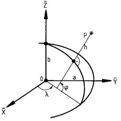
Coordinate systems at sea
For safe navigation at sea, it is important to know your position as well as the positions of obstacles. Positions are expressed in coordinates. Positions at sea are expressed in latitude and longitude, and height or depth with respect to a specified water level. Coordinates are only meaningful if you know the coordinate system they refer to. These are the so-called coordinate reference systems. Mariners have to know which coordinate reference system to use for positioning.
Horizontal and vertical system
As with your own position, nautical charts and datasets also make use of a coordinate reference system. If the coordinate reference systems of the nautical chart and your position are different systems, it is necessary to transform (convert) the coordinates to a single system.
The choice of coordinate reference system influences point, line and area calculations. The coordinates of a position will be different, as well as distances, and the area of an offshore mining block, for instance. The horizontal coordinate reference system is also known as the geodetic datum. The vertical coordinate system for depth at sea is called the chart datum.
In the Netherlands, the Netherlands Cadastre, Land Registry and Mapping Agency (Kadaster), the Directorate-General for Public Works and Water Management (Rijkswaterstaat) and the Hydrographic Service of the Royal Netherlands Navy share responsibility for the Dutch coordinate reference systems.
